At the far end of Sa Conca there is a signpost. It says AE246, and it points away from the village, towards Cala Nans. Everything on the near side of that post is Cadaqués — streets, houses, parked cars, the Dalí statue on the waterfront twenty minutes back. Everything beyond it is the Cap de Creus: no road, no houses, no water, and one abandoned lighthouse three kilometres down the coast. Sa Conca is a perfectly good small cove, but what makes it worth knowing about is that it is the last one before the wild coast starts.
The Beach Where the Village Runs Out
Walk south from the Platja Gran along the seafront, past Es Llaner Gros and Es Llaner Petit, round the back of the Hotel Rocamar, and the tarmac gives up. A dirt track drops the last stretch to Sa Conca. From the sand you can already see the lighthouse in the distance, which is unusual and slightly unnerving: your destination is visible from the start, and it looks a long way off.
The walk to the Far de Cala Nans is about 2.8 kilometres one way, roughly seven kilometres there and back, with very little climbing — it stays close to the coast the whole way. Immediately past Sa Conca the path crosses the Sant Pius V stream, then climbs over the Puig d’Aiguadolç and drops towards Sa Sabolla, the small quiet cove that is the prettiest part of the route. The last section narrows, and in a couple of places there is a fixed rope to hold if you do not like exposure.
Two things to take seriously. This is a nature reserve — picking plants is prohibited, and that is enforced. And the tramuntana at the lighthouse point can be strong enough to make standing up difficult; people who have walked out there in a blow describe being nearly knocked over. Check the wind before you go, not just the sun.
The Lighthouse Cadaqués Refused to Lose
The Far de Cala Nans was provided for in the general scheme for lighting Spain’s coasts and ports drawn up in 1847, under Isabel II, but nothing was built for years and it was finally inaugurated in 1864. Its construction is attributed to the engineer J. M. Faquinetto, who also built the lighthouse at Cap de Creus, and its job was to guide shipping into a port that in the nineteenth century was doing real commercial business. It stands twenty-six metres above the sea on the cliffs of the Puig de Simonets, a rectangular building with a cylindrical tower rising out of the middle of it. The name comes from the nanses, the reed fish traps that used to be set along this bit of shore.
It started life as a sixth-order light — the smallest class — showing a fixed beam. A reform planned in 1904 was never carried out. In 1926 it was modernised and reclassified as third order, the fixed light replaced by a rotating mechanism.
Then Cadaqués’s maritime trade collapsed. By the first third of the twentieth century the lighthouse had lost its strategic value and was left to fall apart. With the building in a ruinous state, the decision was taken to demolish it and put up something new. The people of Cadaqués objected, and the objection worked — the old lighthouse is still standing, and by most accounts the campaign also secured its restoration. Sources overwhelmingly date this to 1982, though one gives 1974, and we have not been able to settle it.
What they saved is not a ruin. It is a working navigational light: automated since the 1960s, with no resident keeper since, showing white in groups of four flashes every twenty-five seconds. And it holds a distinction that is worth the walk on its own. It is the only lighthouse in Catalonia with no road access for motor vehicles. Everything that has ever been done to maintain it, somebody carried along the path you are about to walk.
You cannot go in. You are walking three kilometres to look at the outside of a building on a headland, and it is completely worth it — anyone who has done it will tell you the same thing. The point is the coast you cross to get there.
What the Cove Is Like
Small: about 125 metres long and only around 11 metres deep. No Blue Flag, which reflects its size and its lack of services rather than anything about the water. There is no lifeguard, no kiosk, no promenade and nothing for sale.
The shore is rock and coarse gravel — this is the Cap de Creus, where the stone is folded metamorphic slate rather than the granite of the southern Costa Brava, and it weathers into the twisted, almost sculpted shapes that made this coastline famous. Dark pines come down close to the water. On the left side of the cove a series of low rocky points runs out into the sea, and walking to the end of one, with water on both sides of you, is the single best five minutes Sa Conca offers.
Water shoes, not flip-flops. And part of the cove has a long-standing naturist tradition — not an official designation, just custom, and with occupancy as low as it is here nobody is imposing on anybody.
The Island with the Five-Arch Bridge
Just before Sa Conca, off Es Llaner Petit, sits Es Sortell. It is usually described as a headland; it is actually a small island, joined to the shore by a curious stone bridge of five arches spanning the channel between them.
Crossing it and walking round the island takes about twenty minutes there and back, and it gives you the best view of Cadaqués there is from the water’s edge — the whitewashed village stacked up under its church, seen side-on rather than from the postcard angle. If you are walking out to Sa Conca anyway, this is the detour to make.
Getting There
On Foot
The only sensible way. From the Platja Gran, follow the seafront south past the Llaner beaches to the Hotel Rocamar, where a signpost marks the track down to Sa Conca and on to the lighthouse. From the entrance to the village you can also cut through the back streets and reach the cove without going through the centre at all — worth knowing in August.
By Car
The address usually given is Carrer des Quers. Street parking around it is free and, like all parking in Cadaqués, effectively nonexistent from mid-July to the end of August. There is a public parking area by the Hotel Rocamar that walkers use as the trailhead.
Map
Eating and Sleeping Nearby
Nothing at the cove, so bring water — particularly if you are carrying on to the lighthouse, where there is none either. Everything else is back in the village, which is no hardship: Cadaqués has a serious concentration of restaurants for a place its size, several of them on the Platja Gran looking back at the church and the Dalí statue.
The old town is worth the time in its own right. It is protected as a cultural asset of national interest, and its whitewashed lanes are the thing Dalí kept painting — he lived at Portlligat, over the hill on the far side of the village, in a house built out of a row of fishermen’s huts that is now a museum and needs booking in advance.
For a base, anywhere in Cadaqués works: the village is small enough that Sa Conca is a walk from all of it. Accommodation runs from small family-run hotels to places inside the boundary of the Cap de Creus natural park.
When to Go
The variable here is the tramuntana. Cadaqués sits behind the Pení massif and the north wind is the defining fact of its weather — it can blow hard for days, and out on the exposed section towards Cala Nans it turns a gentle walk into an ordeal. It also, when it blows, produces the clearest air and the deepest blue water on this entire coast. Look at the wind forecast the night before and decide accordingly: tramuntana means stay low and swim; calm means take the path.
June and September are the best months for combining both — warm water, walkable temperatures, and Cadaqués functioning as a village rather than a car park. July and August are busy in the centre, though Sa Conca stays noticeably quieter than the main beaches simply because it is off the obvious route. Spring and autumn are for walking rather than swimming.
For how this cove compares with the rest of the region, see our Costa Brava beach rankings. And for the confusion it causes: the other Platja Sa Conca, at Castell-Platja d’Aro, is an entirely different beach an hour and a half down the coast.
Practical Tips
- Check the tramuntana forecast. It decides whether the walk to the lighthouse is a pleasure or a fight.
- Carry water. There is none at the cove and none at Cala Nans.
- Water shoes. Rock and coarse gravel, not sand.
- Detour over the bridge to Es Sortell. Twenty minutes, and the best side-on view of the village.
- Take nothing from the reserve. Picking plants inside the Cap de Creus park is prohibited.
Frequently Asked Questions
Is this the same Sa Conca as the one near Platja d’Aro?
No. Sa conca means “the basin” in Catalan and the name occurs twice on this coast. This one is at the southern edge of Cadaqués; the other is at Castell-Platja d’Aro, well over an hour away.
Written for general information, not as travel, legal or safety advice. Sa Conca has no lifeguard, no drinking water and no services of any kind, and the shore is rock and gravel. The path towards Cala Nans runs inside the Cap de Creus natural park, includes narrow exposed sections with fixed ropes, and is seriously affected by the tramuntana, which can reach dangerous strength on the headland. The lighthouse is a working, unstaffed navigational installation and is not open to visitors; do not attempt to enter. Confirm current details with the Ajuntament de Cadaqués and the Parc Natural de Cap de Creus before travelling.
Sources
Checked on 27 August 2026.
- The lighthouse. The Far de Cala Nans is included in the Inventari del Patrimoni Arquitectònic de Catalunya. Its provision under the 1847 general plan for lighting the coasts and ports, its inauguration in 1864, the attribution to the engineer J. M. Faquinetto who also built the Cap de Creus light, the abandoned 1904 reform plan and the 1926 modernisation from sixth to third order are recorded consistently across Catalan lighthouse documentation. The current characteristic — white light, four flashes every twenty-five seconds — and the automation from the 1960s come from the same body of sources, as does the point that it is the only lighthouse in Catalonia without road access for vehicles.
- What we corrected. An earlier version of this guide said the lighthouse had been left to fall apart, was sealed, and had its doors and windows bricked up. That is wrong on the substance: it is a working automated light, and the accounts of the residents’ campaign say it led not only to the building being saved but to its rehabilitation. We also gave a precise start date of 1 September 1864, which we cannot source; the year is well attested, the day is not.
- A date we could not settle. The demolition plan and the residents’ opposition are dated to 1982 by almost every account. One newspaper feature gives 1974. We have said so rather than pick.
- The park and its rules. The path to Cala Nans runs inside the Parc Natural de Cap de Creus, where collecting plants is prohibited. When extreme forest-fire risk is declared under Pla Alfa, access to parts of the massif can be closed to walkers as well as to vehicles, so it is worth a look on a hot, dry, windy day. The consequences are set out in full, with the list of coves affected, in our guide to Cala Montjoi on the Roses side of the same park.
- What we could not verify. The cove’s measurements of about 125 by 11 metres; the five-arch bridge to Es Sortell and the twenty-minute circuit of the island; the AE246 waymark number; and the naturist custom, which carries no official designation. The national beach register is the Guía de Playas of the Ministerio para la Transición Ecológica y el Reto Demográfico (Fuente: © Ministerio para la Transición Ecológica y el Reto Demográfico).
- Lifeguards, parking and beach services. Municipal, set by the Ajuntament de Cadaqués each season under article 115 of the Ley 22/1988 de Costas. The absence of any of them at Sa Conca is a consequence of its size, not a designation.
- The Blue Flag. Where this guide refers to Blue Flag status, the award is administered in Spain by ADEAC, which publishes the list of awarded beaches (PDF). It is a voluntary certification a town hall applies for rather than a public designation, it measures municipal management rather than natural water quality, and the 2026 round runs for two years rather than one. Our guide to what the award measures sets out why several of the best coves in these guides do not have one.
Image Credits
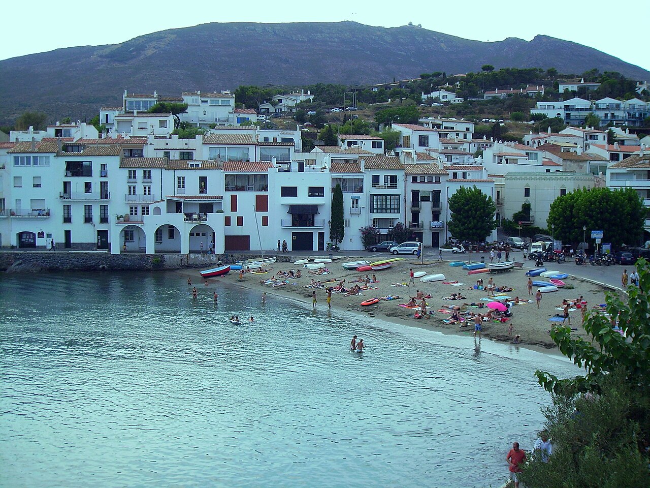
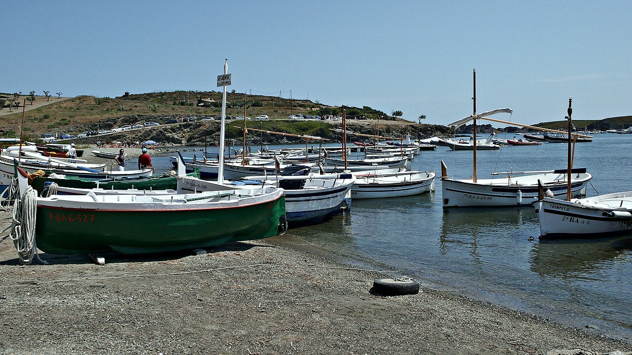
A note on the photography: no freely licensed photograph of Platja Sa Conca itself is available, so the images below show the Cadaqués waterfront where the walk begins and the bay of Portlligat on the far side of the village. Both are labelled accordingly.
- Header image: Cadaquès platja 1 by Antonio De Lorenzo and Marina Ventayol, licensed under CC BY-SA 3.0, via Wikimedia Commons. Shows the Cadaqués waterfront, not Sa Conca.
- In-article image: Portlligat, Cadaqués by Alberto-g-rovi, licensed under CC BY-SA 3.0, via Wikimedia Commons. Shows Portlligat, not Sa Conca.
Leave a Reply